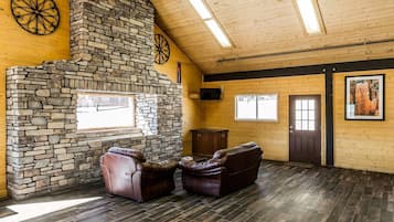
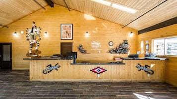
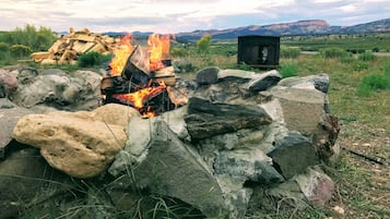
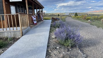
拍摄者: Eric & Kristy's Adventures
奥尔顿酒店预订

计划有变可免费取消

每晚住宿都有奖励

会员价省更多
查看这些日期的价格
奥尔顿住宿攻略
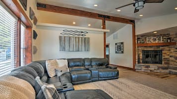

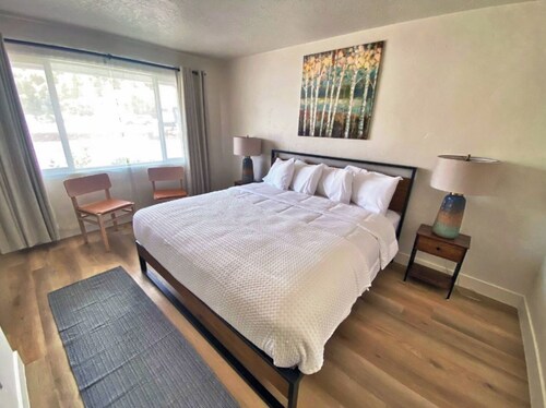
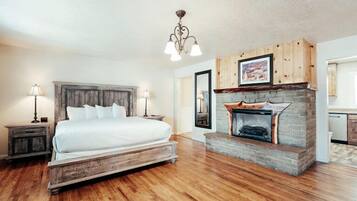
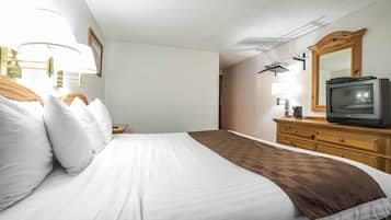
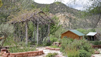
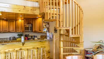
豪华之家 ~ 距离布莱斯峡谷国家公园2英里!
豪华之家 ~ 距离布莱斯峡谷国家公园2英里!Bryce Canyon
新价格 CNY2,090
总价 CNY3,824
包含税费
4 月 23 日 - 4 月 24 日


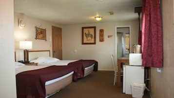
品质酒店潘圭奇靠近布莱斯峡谷
品质酒店潘圭奇靠近布莱斯峡谷Panguitch
7.8 分,总分 10,还可以,(1,005 条点评)
新价格 CNY485
总价 CNY548
包含税费
4 月 27 日 - 4 月 28 日


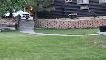
河畔牧场房车公园汽车旅馆及营地
河畔牧场房车公园汽车旅馆及营地Hatch
9.4 分,总分 10,绝佳,(565 条点评)
新价格 CNY595
总价 CNY672
包含税费
4 月 30 日 - 5 月 1 日


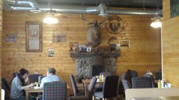


89 & Nine 汽车旅馆
89 & Nine 汽车旅馆Orderville
8.6 分,总分 10,超赞,(167 条点评)
新价格 CNY711
总价 CNY817
包含税费
4 月 14 日 - 4 月 15 日


贝斯特韦斯特东锡安雷鸟旅馆
贝斯特韦斯特东锡安雷鸟旅馆Orderville
9.2 分,总分 10,好极了,(1,005 条点评)
新价格 CNY941
总价 CNY1,081
包含税费
4 月 14 日 - 4 月 15 日
基于过去 24 小时内找到的、2 位成人 1 晚住宿的每晚最低价格。价格和供应情况可能会有所变动。可能需遵守其他条款。
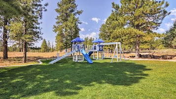
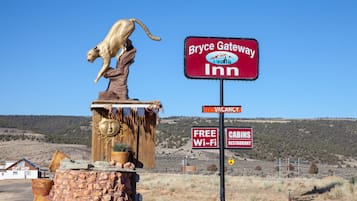
奥尔顿超凡住宿体验
宠物友善
适合家庭游
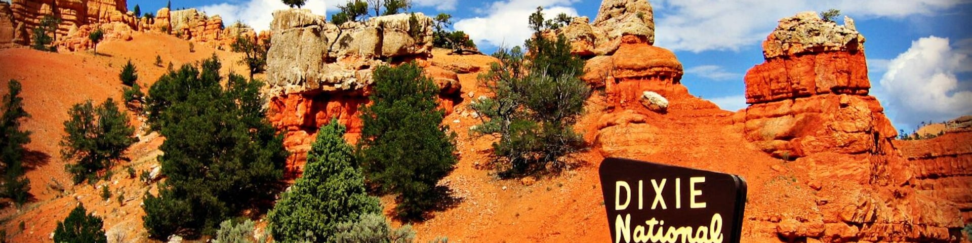
著名奥尔顿地标
详细了解奥尔顿
奥尔顿的知名景点包括迪克西国家森林公园和奥尔顿市政厅。

照片拍摄者:Eric & Kristy's Adventures
公开照片拍摄者:Eric & Kristy's Adventures
查看住客喜爱的 奥尔顿 酒店的点评

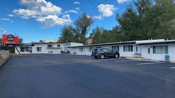
莱斯峡谷罗德威酒店
8/10 好