
Photo by I DEWA NYOMAN ARTHA WIJAYA B
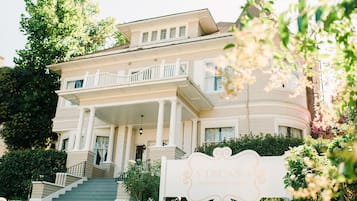
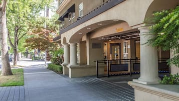
Hotels in Poverty Ridge

Free cancellation options if plans change

Earn rewards on every night you stay

Save more with Member Prices
Check prices for these dates
Where to stay in Poverty Ridge?


Lowest nightly price found within the past 24 hours based on a 1 night stay for 2 adults. Prices and availability subject to change. Additional terms may apply.
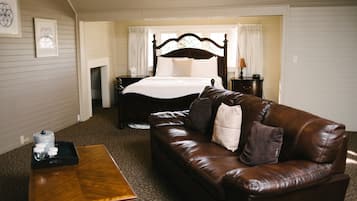
Check out reviews of Poverty Ridge hotels guests love

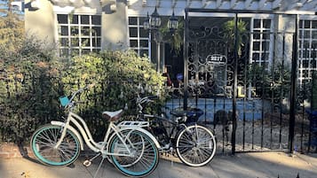
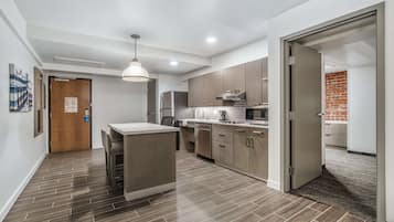
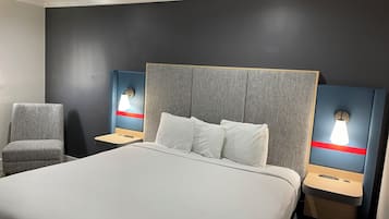
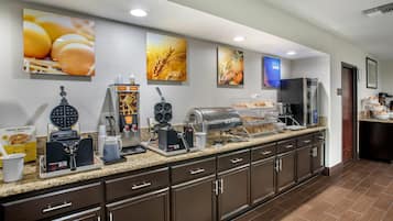
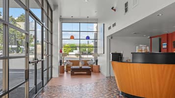
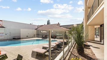
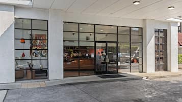
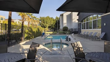
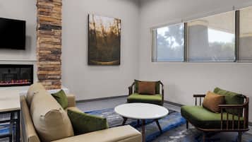
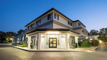
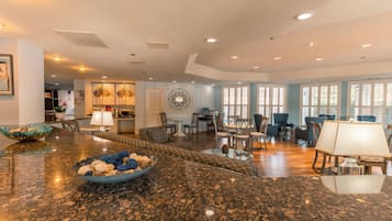
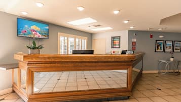
Vagabond Inn Executive Old Town
10/10 Excellent


Frequently asked questions
Find out more about Poverty Ridge
Keep exploring
- Wheatland Hotels
- Hotels with a Gym in Folsom Historic District
- Hotels near Stockton Convention & Visitors Bureau
- Hotels near Suisun City Marina
- Hotels near 11th & K
- Resorts & Hotels with Spas in Folsom Historic District
- Pet-Friendly Hotels in Sonoma Valley
- Roseville Hotels
- Cheap Hotels in Manteca
- Courtland Hotels
- Hotels near Naggiar Vineyards and Winery
- Hotels with Parking in Folsom
- Hotels near Sutter Medical Group
- Business Hotels in Rocklin
- Hotels near U.C. Davis Arboretum
- Pet-Friendly Hotels in Woodland
- Arbuckle Hotels
- Cottages in Pioneer
- Business Hotels in Roseville
- Hotels with Parking in Grass Valley
- Valley Oak Hotels
- Highland Reserve Hotels
- Hotels with a Gym in Tracy
- Family Hotels in Sonoma
- B&B in Jackson
- Hotels with Free Breakfast in Davis
- Luxury Hotels in Placer County
- Hotels with a Pool in Greater Sacramento
- Hotels near City College Station
- Hotels with Kitchens in Elk Grove
- Hotels with Parking in St. Helena
- Cheap Hotels in Sacramento
- Cheap Hotels in Grass Valley
- Hotels near Discovery Museum Science and Space Center
- Hotels near World of Wonders Science Museum
- Penryn Hotels
- Hotels with Parking in Stockton
- Hotels near U.C. Davis Conference Center
- Hotels with Parking in Boyes Hot Springs
- Cheap Hotels in Stockton
- Cottages in Historic Main Street Placerville
- Luxury Hotels in Yountville
- Hotels with Free Breakfast near Scotts Flat Lake
- Hotels with Parking in Davis
- Lgbtqia Welcoming Hotels near Scotts Flat Lake
- Cheap Hotels in Tracy
- Hotels with a Gym in St. Helena
- Family Hotels in Folsom Historic District
- Hotels near Mather Field/Mills Station
- Hotels near Jelly Belly Factory
- Hotels with Free Breakfast in Rocklin
- North Woodbridge Hotels
- Lodi Hotels
- Hotels with Parking in Rocklin
- Hotels with a Gym in Woodland
- Family Hotels in Jackson
- Luxury Hotels in St. Helena
- Oak Grove Hotels
- Hotels near Nut Tree
- Capay Hotels
- Hotels near Pittsburg-Bay Point Station
- Hotels near Cosumnes River College Station
- West Sacramento Hotels
- Pet-Friendly Hotels in Jackson
- Hotels with Parking in Nevada City
- Curtis Park Hotels
- American River Canyon Hotels
- Hotels near UC Davis California Raptor Center
- Hotels with Kitchens near Beals Point